|
| *****SWAAG_ID***** | 486 |
| Date Entered | 02/04/2012 |
| Updated on | 02/04/2012 |
| Recorded by | Tim Laurie |
| Category | Mining Related |
| Record Type | Mining |
| Site Access | Public Footpath |
| Record Date | 01/04/2012 |
| Location | Whitaside. High Lane Pasture. Birks. |
| Civil Parish | Grinton |
| Brit. National Grid | SD 9901 9717 |
| Altitude | 375m |
| Geology | Middle Limestone |
| Record Name | Whitaside. Bale Site and adjacent shaft mounds. Smith Site Birks 240 |
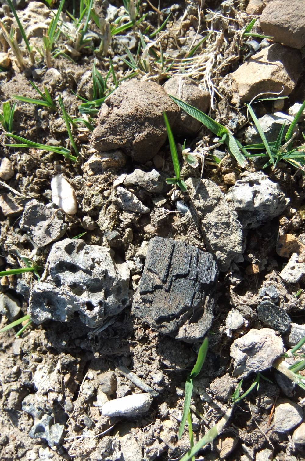
| Record Description | This lead bale is recognisable as a low circular turf covered mound eroded one edge with visible charcoal and much slag, see detail photographs. Slag and charcoal also visible in rabbit holes.
Radiocarbon dated to 1460-1660AD (Dr Richard Smith. 'Bale Smelting in the Yorkshire Dales.' British Mining No 22, 90-107.
The lead ore from the adjacent shaft mound and line further shaft mounds runnning southward may have been processed at this lead bale. It is however equally probable that the shaft are later in date and that the initial activity was to process ore from surface workings. |
| Dimensions | Bale site 8m diameter. |
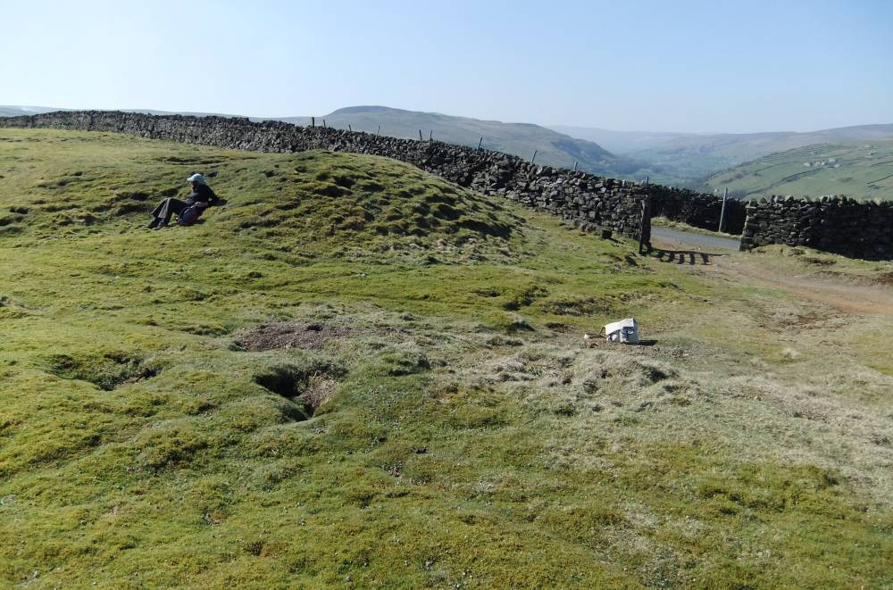
| Image 1 ID | 2549 Click image to enlarge |
| Image 1 Description | Bale and shaft mound near road. | 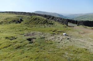 |
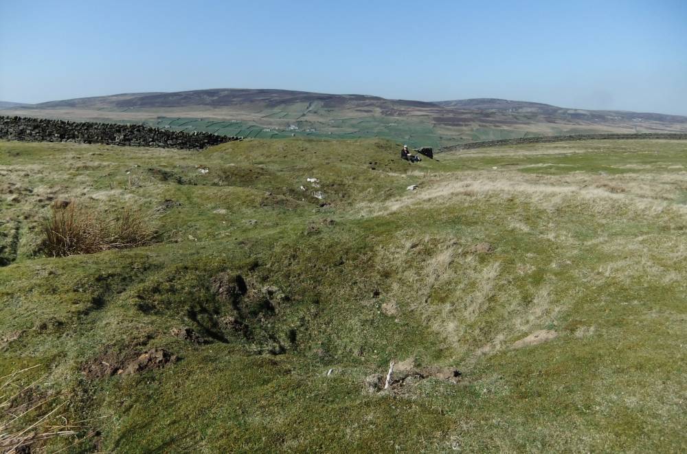
| Image 2 ID | 2550 Click image to enlarge |
| Image 2 Description | Bale and shaft mound near road. | 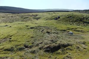 |
| Image 3 ID | 2551 Click image to enlarge |
| Image 3 Description | Bale and shaft mound near road. | 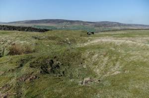 |
| Image 4 ID | 2552 Click image to enlarge |
| Image 4 Description | Detail of bale with slag and charcoal | 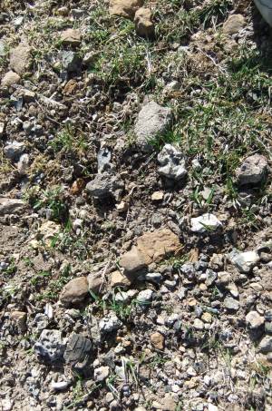 |
| Image 5 ID | 2553 Click image to enlarge |
| Image 5 Description | Detail of bale with slag and charcoal |  |
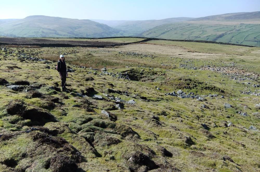
| Image 6 ID | 2554 Click image to enlarge |
| Image 6 Description | Shaft mound, most southerly of a line of shafts. | 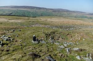 |
| Image 7 ID | 2555 Click image to enlarge |
| Image 7 Description | Shaft mound view west towards nearby burnt mound. | 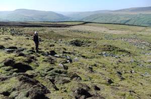 |